Land classification and land use involve systematic categorization of terrain based on physical attributes, vegetation, and human activities to guide planning, agriculture, and development. These frameworks ensure sustainable resource management while balancing economic, environmental, and social needs.

Core Concepts
Land classification groups areas by inherent characteristics like soil, topography, and climate. Land use, however, describes human-imposed activities such as farming or urbanization.
Distinctions clarify applications.
- Land Cover: Physical surface traits (e.g., forests, water bodies).
- Land Use: Purposeful exploitation (e.g., cropland, residential).
- Land Capability: Suitability for specific crops or erosion risk.
Major Classification Systems
Global standards provide structured hierarchies.
FAO Land Cover Classification System (LCCS) divides into dichotomous and modular-hierarchical phases. The first identifies eight types: cultivated terrestrial areas, natural vegetation, aquatic vegetation, artificial surfaces, bare areas, and waterbodies/snow/ice. Subsequent classifiers like life form, cover, height, and seasonality refine classes for GIS mapping.
USGS Land Use/Land Cover System uses four hierarchical levels. Level I covers broad categories (agriculture, urban); Levels II-IV add details like crop types or building densities. This enables temporal monitoring and regional comparisons.pubs.
USDA Land Capability Classification sorts soil into eight classes (I-VIII) by limitations like slope or wetness. Classes I-IV suit cultivation with management; V-VIII limit to pasture or forestry.
Regional variants exist, such as India’s 22-fold classification under MOSPI, tracking forests, barren land, and permanent pastures.
Types of Land Classification
Categories reflect diverse evaluation criteria.
| Type | Description | Examples | Applications fao+1 |
| Physiognomic-Structural | Based on vegetation form, height, cover | Tree-dominated, shrubland | Biodiversity mapping |
| Edaphic | Soil and hydrology focused | Fertile alluvial, saline | Agriculture suitability |
| Capability | Productivity potential | Class I (prime arable), Class VIII (wildlife only) | Farm planning |
| Use-Oriented | Human activity driven | Residential, industrial | Zoning laws |
These systems ensure mutual exclusivity and completeness for accurate inventories.
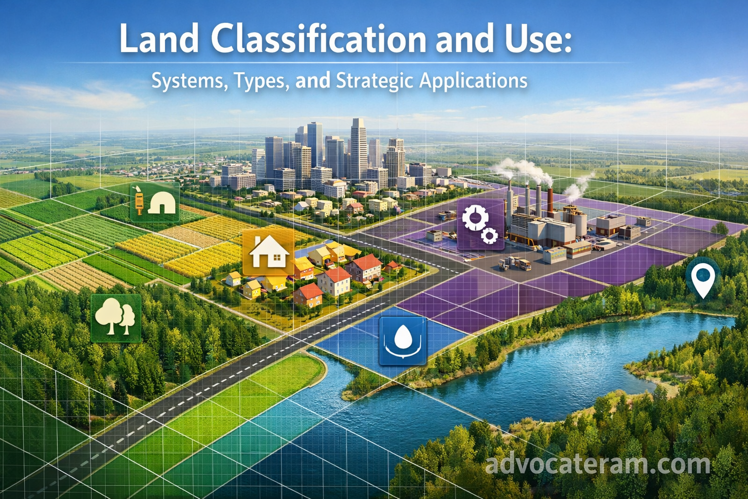
Land Use Categories
Common global groupings guide policy.
- Agricultural: Cropland, orchards, pastures; vital for food security but prone to degradation.
- Forest/Woodland: Timber production, conservation; 31% of Earth’s surface.
- Urban/Residential: Housing, commercial; expanding due to population growth.
- Industrial: Factories, mining; often conflicts with environmental goals.
- Barren/Wasteland: Rock, desert; potential for reclamation.
- Water Bodies: Rivers, lakes; supports fisheries and recreation.
- Protected Areas: National parks; prioritizes ecology over exploitation.
In India, land use splits into forests (24%), cultivable (50%), and non-agricultural (8%).
Factors Influencing Classification
Multiple attributes shape categories.
- Physical: Soil texture, slope (>15% limits tillage), drainage.
- Climatic: Rainfall, temperature zones (arid vs. humid).
- Socio-Economic: Population density, infrastructure access.
- Remote Sensing: Satellite data via NDVI for cover mapping.
Importance in Planning
Classification informs zoning and development. It prevents misuse, like farming on steep slopes prone to erosion, and supports SDGs for sustainable land management.
Risks of poor classification include desertification or urban sprawl on fertile land. Tools like GIS integrate layers for dynamic updates.
Challenges and Trends
Inconsistencies across systems hinder global comparisons; Hawaii’s varying agricultural classifications illustrate this.
Emerging trends favor hybrid models with AI for real-time monitoring. Climate change shifts categories, e.g., cropland to grassland.
Indian Context
Given your Surat location, Gujarat classifies land as agricultural (na) requiring conversion for non-farm use under the Gujarat Land Revenue Code. Urban land follows GUDA zoning: residential, commercial, industrial. R&R policies protect fertile zones.
Classification ensures optimal use, from paddy in alluvial plains to solar farms in arid tracts.